IDD (Indian Driving Dataset) is the world’s first
dataset of Indian driving conditions. The dataset consists of
images obtained from a front facing camera attached to a car
driven in Hyderabad and Bengaluru.
The driving conditions in India are quite diverse and the traffic
behaviour is highly unstructured compared with rest of the world.
These driving conditions pose unique challenges that are yet
unsolved, for research in artificial intelligence (AI) and machine
learning (ML) systems, and hence offer an immense opportunity for
possible technical innovations in AI/ML systems for better road
safety.
Since the publication of the first dataset 4 years ago, IDD
enabled researchers to develop algorithms for the unique Indian
conditions, and also provided an opportunity for the global
research community to investigate emerging AI concepts and
benchmark their solutions.
• 5 datasets released: more in progress for release
•
Over 7800 users from 30+ countries
• 3 international and 2
national data challenges conducted
• Over 140 research
papers across the world have used IDD

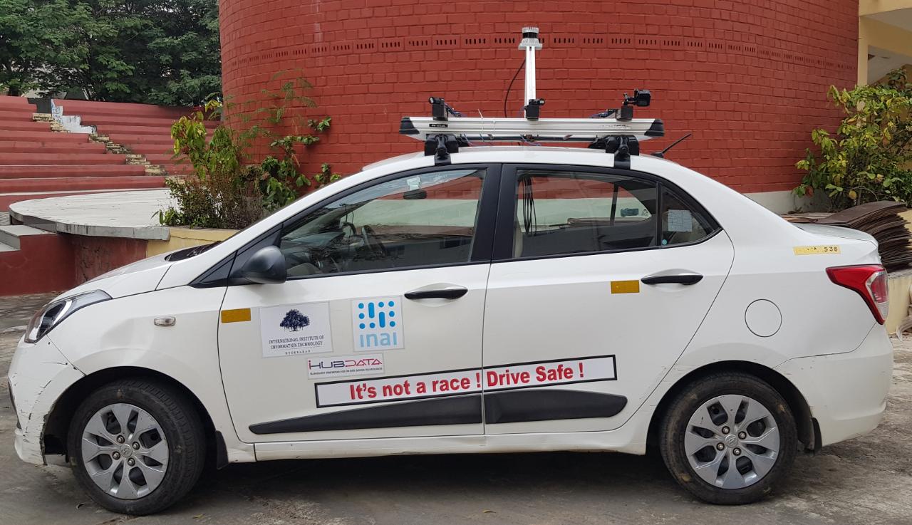
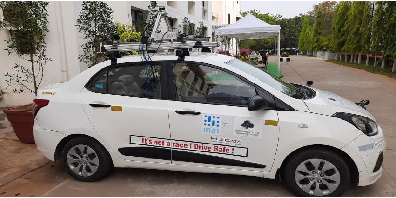
Bodhyaan has been conceptualized as an advanced multi-modal data capture & research platform to expand the scope of IDD further and also provide a flexible platform to partners to generate their own datasets relevant to their specific use cases. The platform will have multiple sensors – cameras, LIDARs, night-vision cameras, RADARs, including the required computational power to capture and process real-time data on the car.


Bodhyaan 1.0 is presently equipped with
6 cameras for a full surround view, a LIDAR sensor and high
compute for data capture and processing.
It is intended to become a platform of choice for all researchers,
academics, and start-ups in India, to test algorithms or methods
in vehicle navigation, data collection, or other areas related to
Indian roads and research. Example Use-cases:
• Quick, cost-effective road-audit system, mapping problem
locations
• Automatic road-side tree count with the camera
on car
• Traffic-violation capture from mobile police
vehicles (helmetless drivers, 3-person driving)
•
Road/street cleanliness monitoring • Road Infra (Poles, Railings,
Greenery etc.) Monitoring
• Short & long-term changes in
municipal areas (new buildings, changes to buildings, floor count)